Join Us
Login
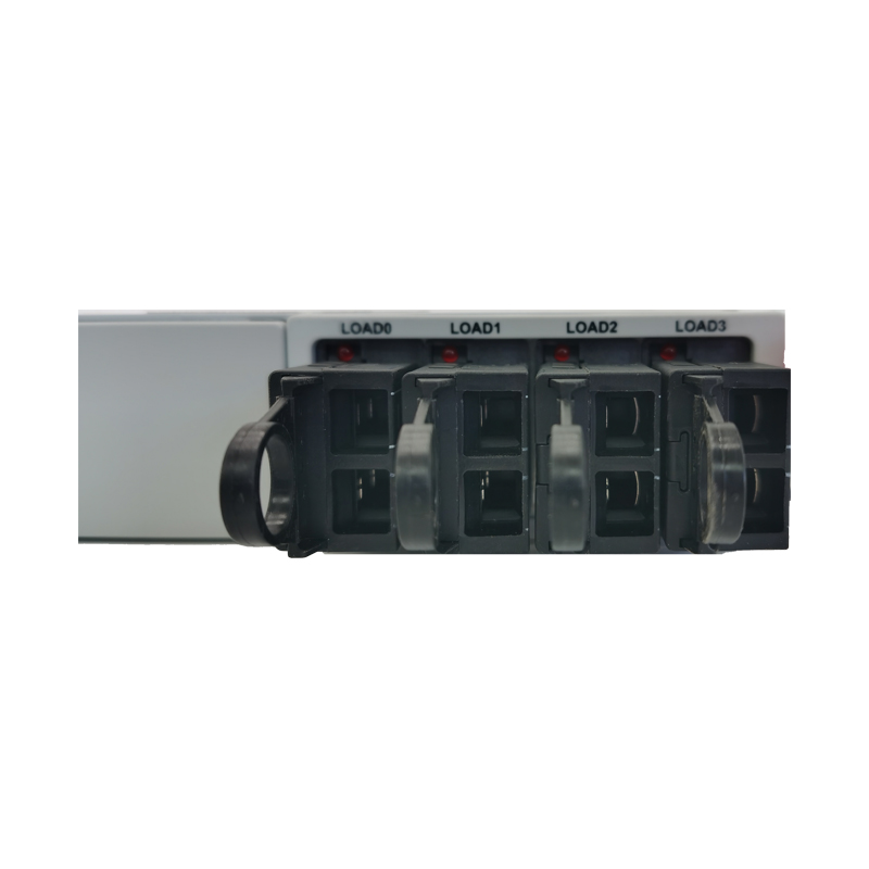
How does a power supply work?
The power supply is the heart of any electronic system or machine. In this BLOG article we will explain how a power supply works on a very basic level. You will also learn more about the difference of an AC/DC converter and a DC/DC converter.
By Hou
Exploring the Wonders of Infrared in Color Infrared Aerial Photography
Infrared technology has been around for decades, but it has only recently become more accessible to the masses, thanks to advancements in digital imaging. One application of this technology that has gained popularity in recent years is color infrared aerial photography. In this article, we will explore the wonders of infrared technology and how it is used in color infrared aerial photography.
By May
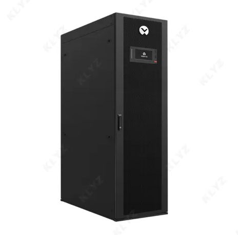
Is Vertiv Liebert UPS suitable for small businesses?
In the dynamic landscape of small businesses, ensuring a seamless and uninterrupted power supply is paramount. Enter Vertiv Liebert UPS, a cutting-edge solution that has been gaining traction in the market for its exceptional performance and reliability.
Voice Verification Code: Enhancing Security and User Authentication
In an increasingly digital world, where personal and financial information is stored and shared online, security is of paramount importance. One key aspect of security is user authentication, ensuring that individuals are who they claim to be when accessing accounts or services. Voice verification codes, also known as voice authentication or voice biometrics, have emerged as a robust and convenient tool for verifying user identities.
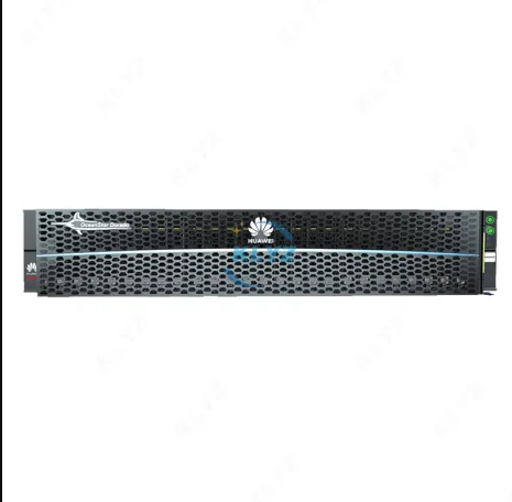
Unleashing the Power of Speed and Scalability: Exploring the HUAWEI OceanStor Dorado Storage System
In the era of data-driven businesses, having a reliable and high-performance storage system is crucial for organizations to manage and process their growing data volumes efficiently. The HUAWEI OceanStor Dorado storage system has emerged as a cutting-edge solution, offering remarkable speed, scalability, and reliability for enterprises across various industries.
The Power of Aerial Integrated Multi-Sensor Systems for Accurate Data Collection
In the era of advanced data acquisition and mapping, aerial integrated multi-sensor systems have become a game-changer, offering unprecedented precision and efficiency in collecting geospatial information. These cutting-edge systems, often utilized on drones or aircraft, bring together multiple sensors into a single integrated unit.
Guest Posts
If you are interested in sending in a Guest Blogger Submission,welcome to write for us!
Your Name: (required)
Your Email: (required)
Subject:
Your Message: (required)
Thank you for your message.